
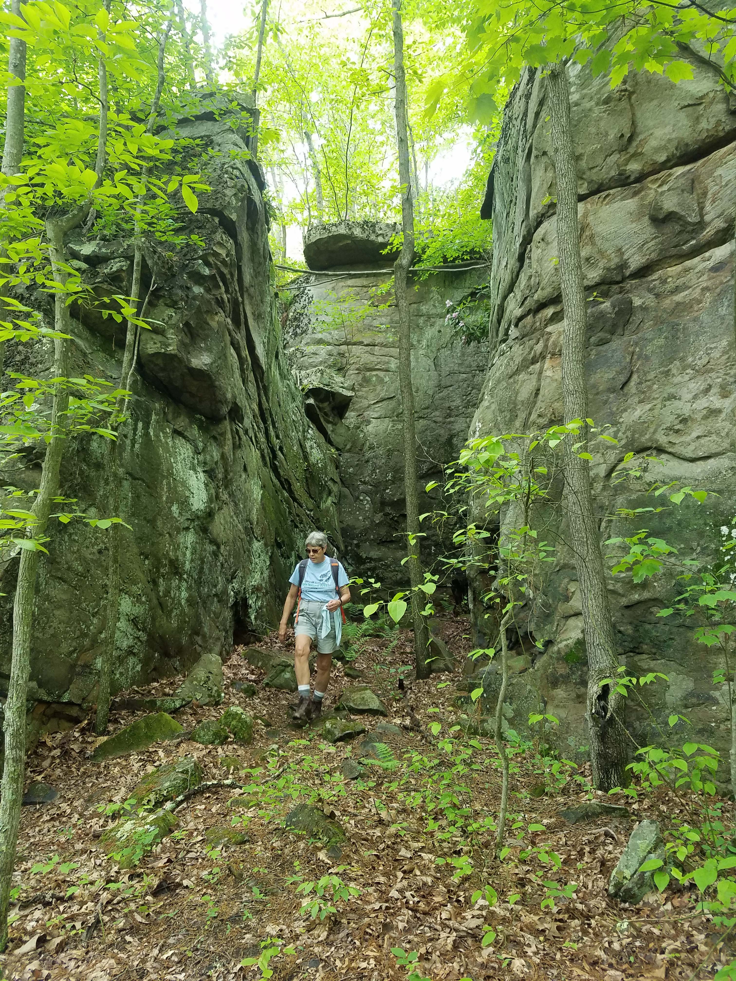
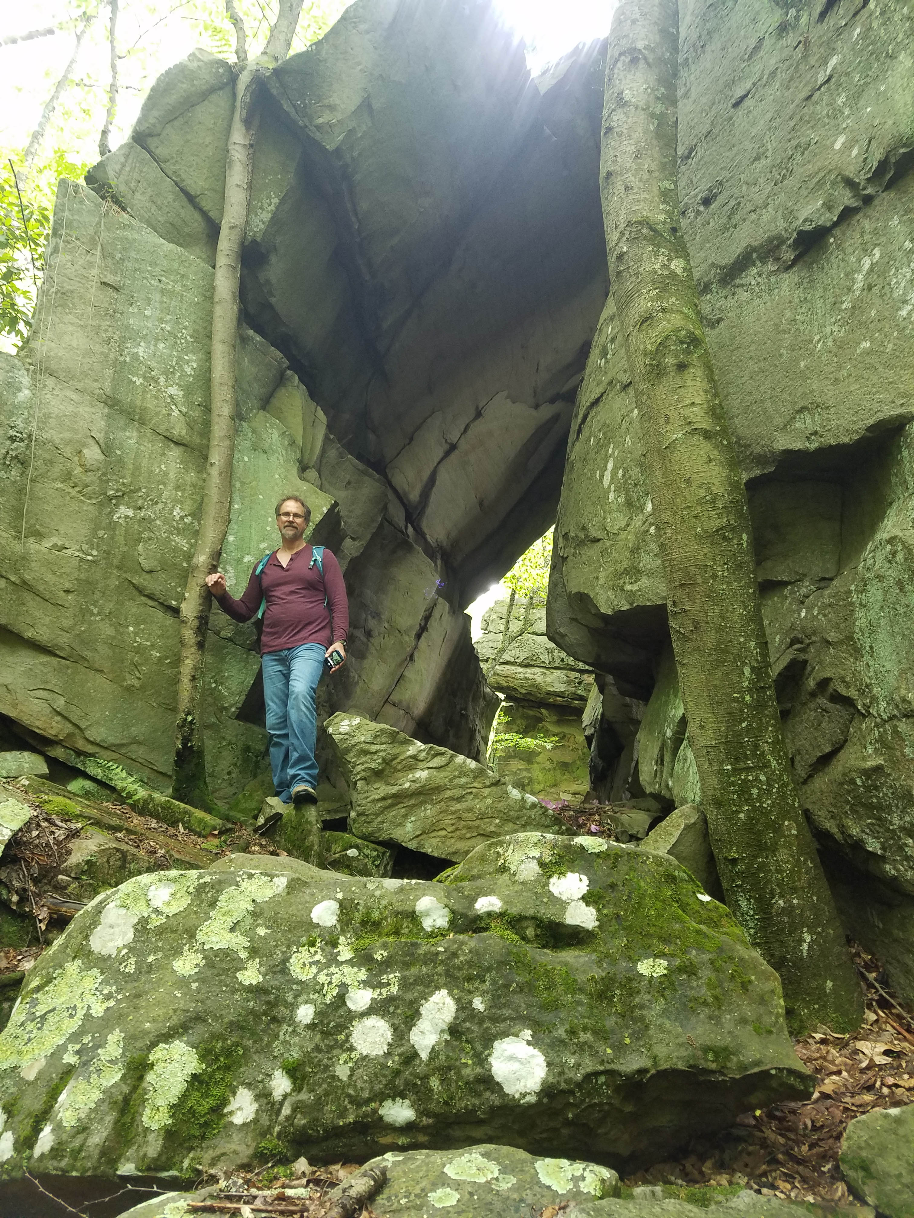
Signage has not yet been installed, as access and trails are being developed, but parking is established and trails are hikeable so feel free to check it out!
Google Maps GPS Points: https://goo.gl/maps/aBe9Kst1s432
WVLT staff are also happy to offer guided hikes! Please call (304) 413-0945 or email jessica@wvlandtrust.org to make arrangements.
Interested in volunteering for trail development? Contact our friends at Waterstone Outdoor!
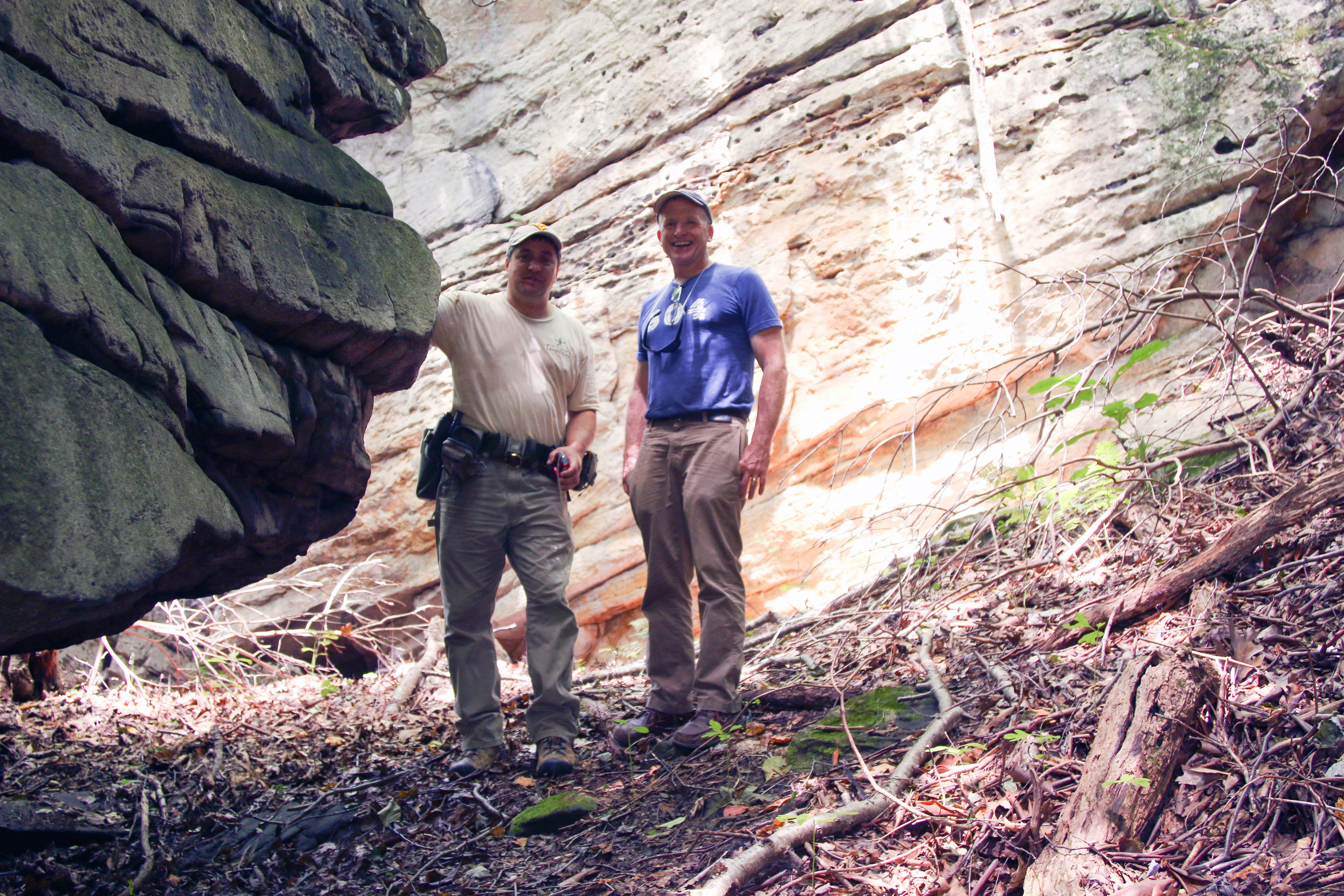
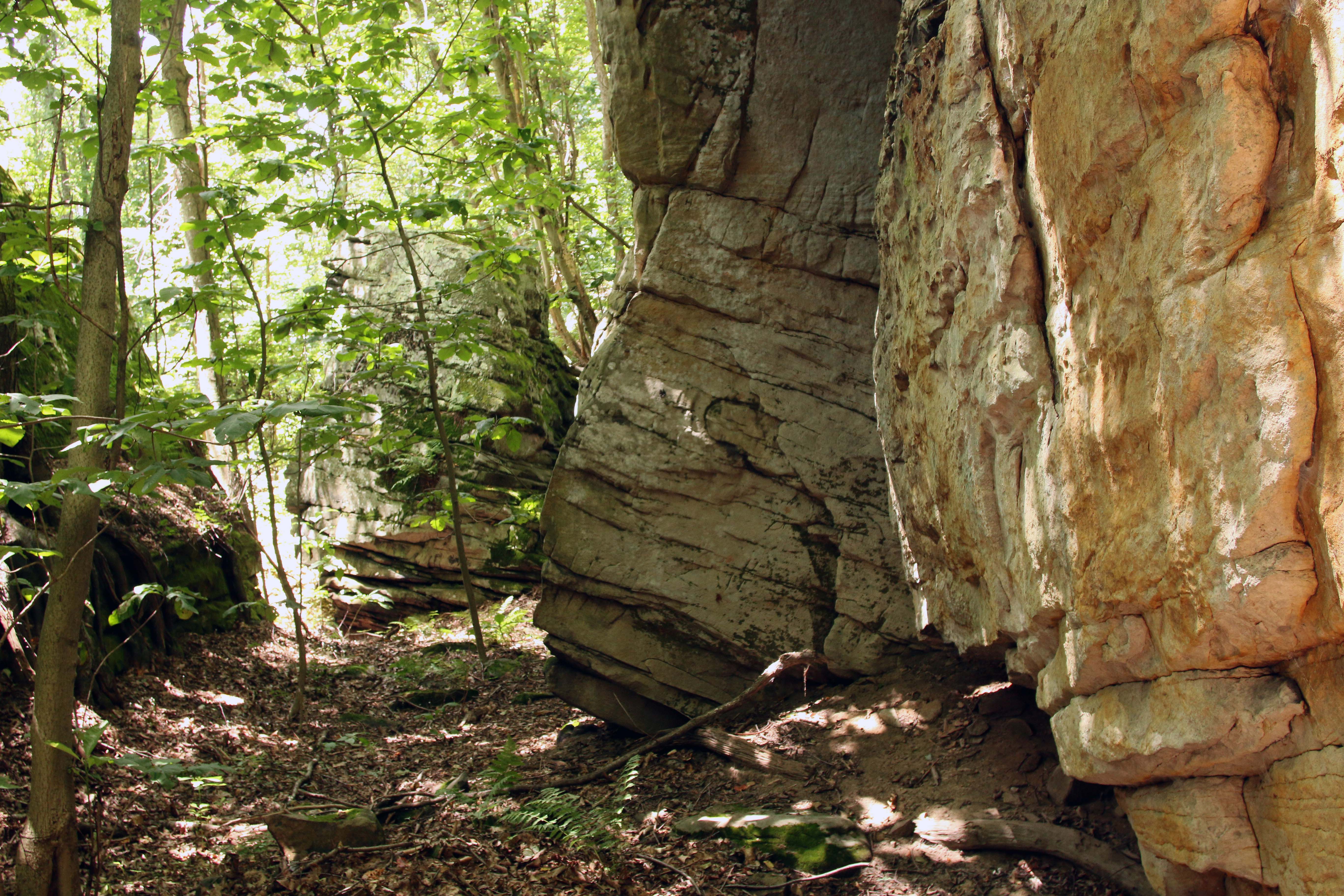
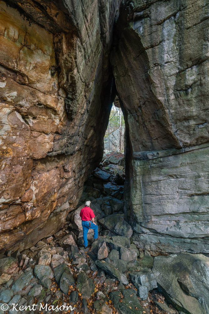
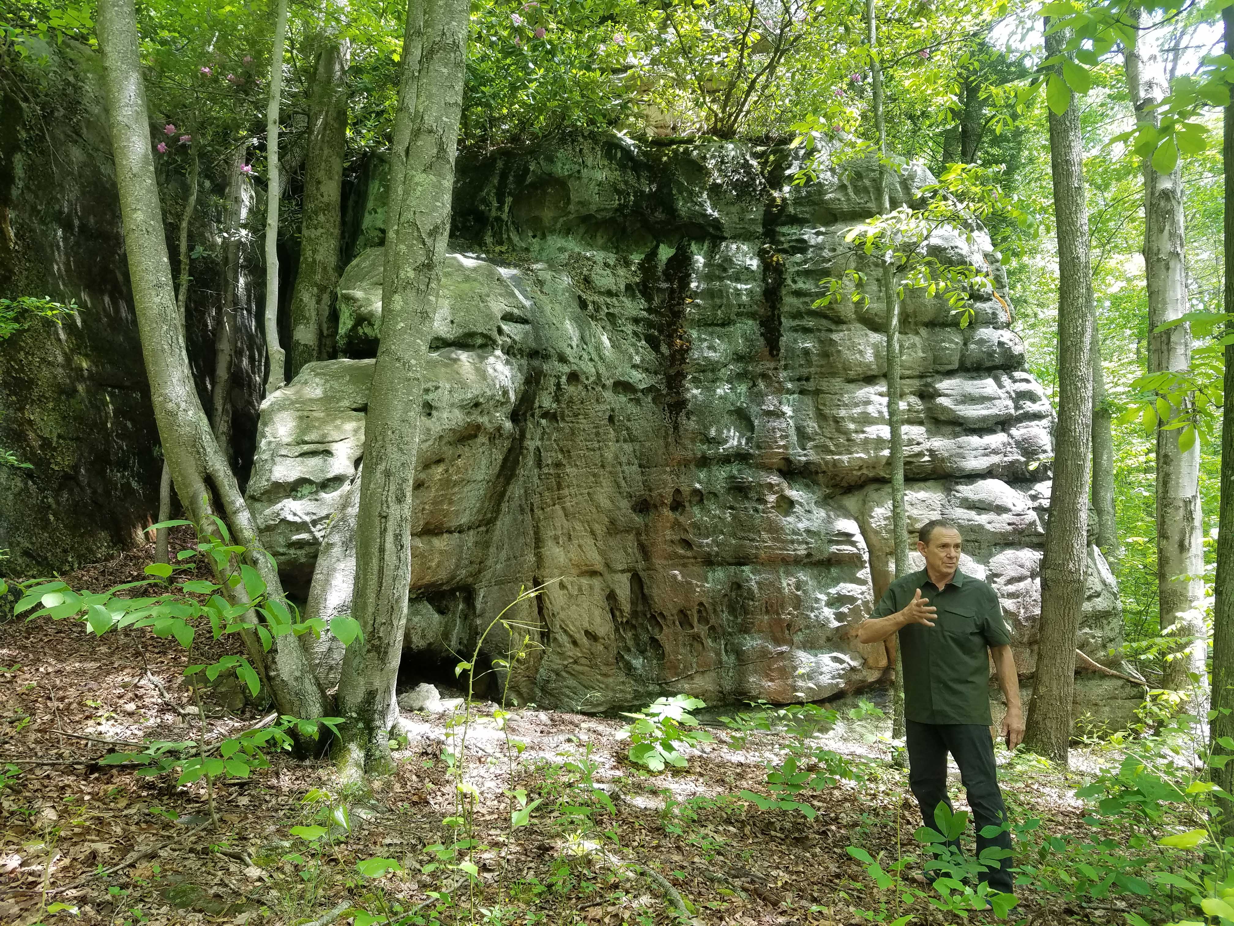
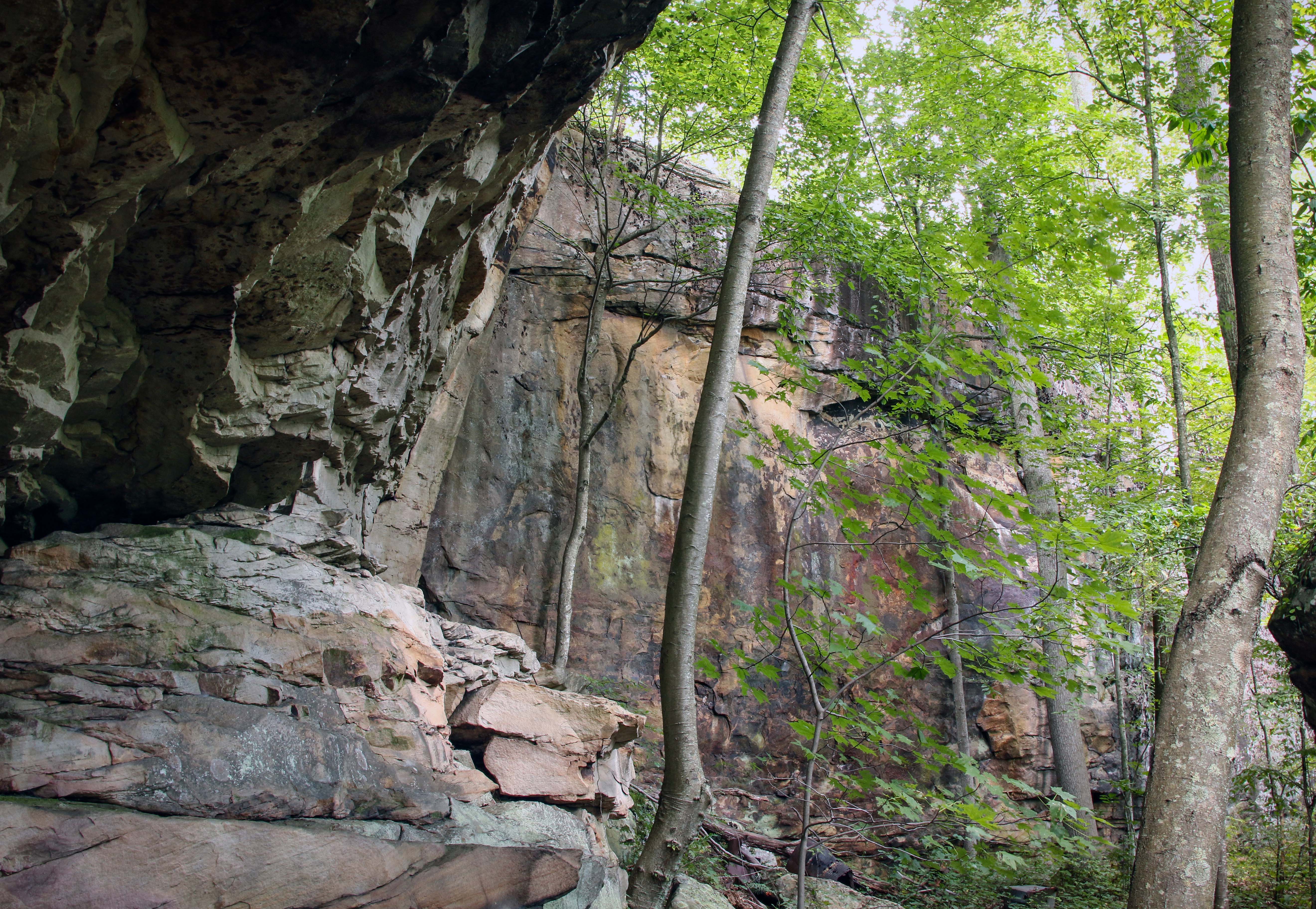
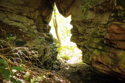
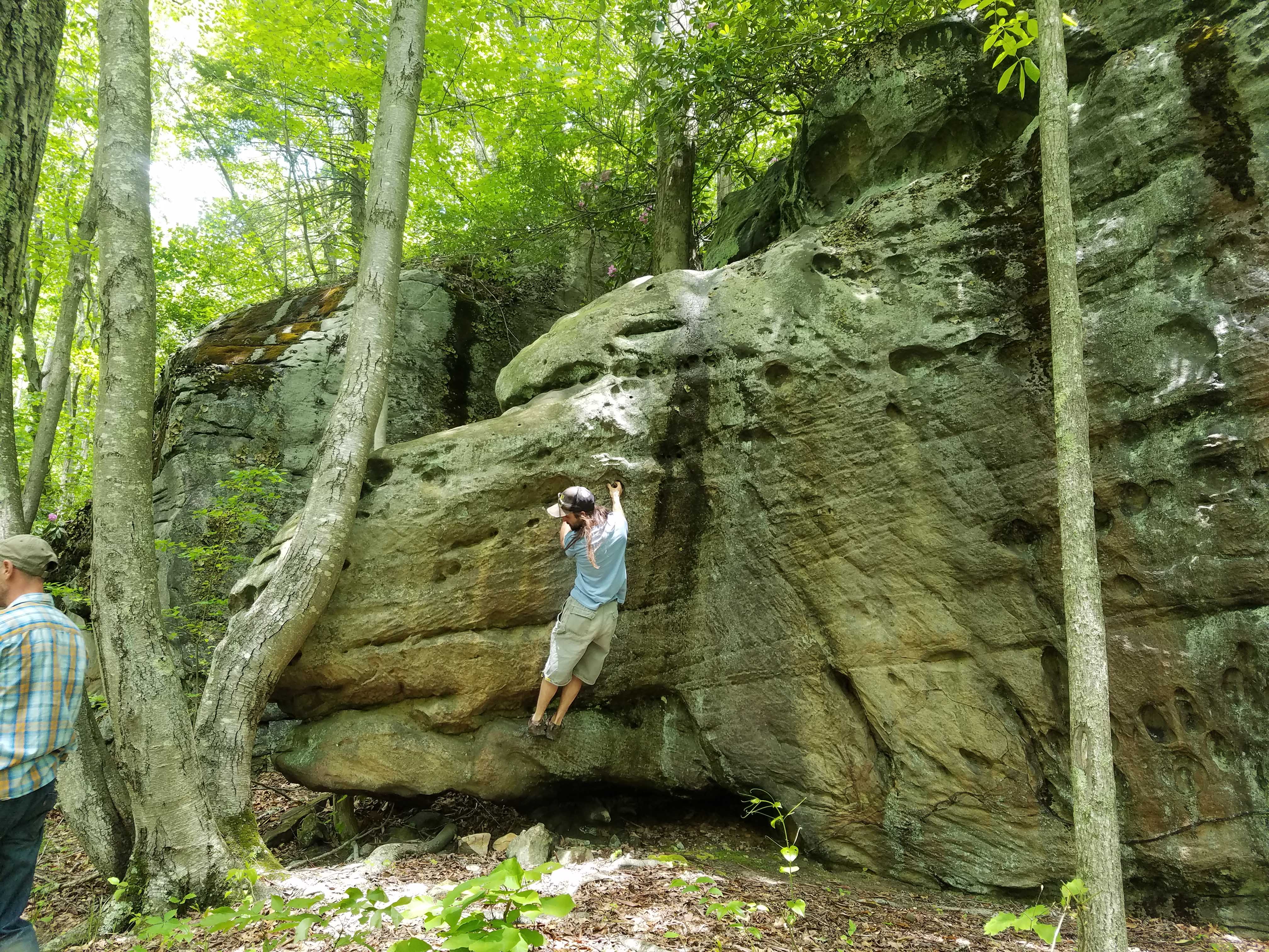
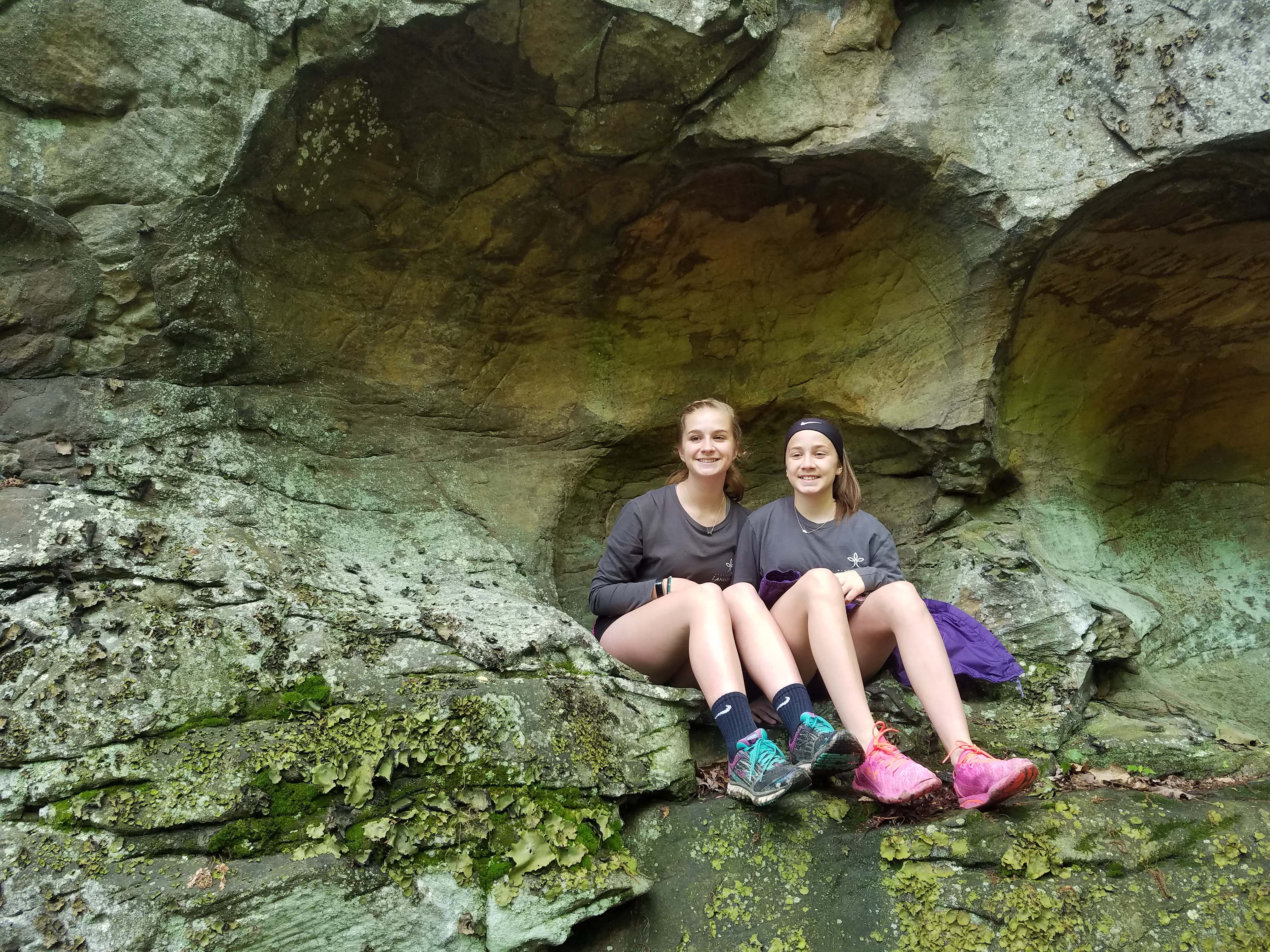
The West Virginia Land Trust partnered with the City of Oak Hill to purchase 283 acres of land for public recreational use. The future is exciting as Oak Hill prepares to open this “outdoor recreational mecca” for climbing, hiking, and mountain biking that will add yet another option for tourism in the New River Gorge Region. This property is packed with natural rock features, including a nearly 2-mile long rock wall, which makes this new destination worth the hike to visit.


 Protect Your Land